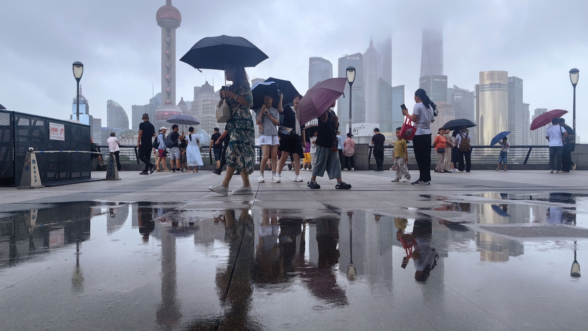


Heavy cloud cover hangs over the iconic Bund as Shanghai braces for Typhoon Co-may, the 8th named storm of the season.
A revived Typhoon Co-may is churning over the East China Sea, and could make a second strike on Shanghai's southern edges – possibly coming ashore in the Pudong New Area or suburban Fengxian District on Wednesday night after a likely first landfall along the Zhejiang coast.
The tropical storm, currently gaining strength, is expected to bring heavy rain, strong gusts and widespread disruption to the Shanghai area beginning late on Tuesday.
At 9am on Tuesday, the center of Co-may was located about 483 kilometers southeast of Nanhui, Pudong. The storm, at tropical storm intensity, was moving northwest at a speed of 10 to 15 kilometers per hour and was slowly gaining strength.
Second landfall likely in SH
Forecast models suggest that Co-may will make its first landfall on Wednesday, along the coastal area between Zhoushan and Ningbo in Zhejiang Province during the daytime.
A second landfall is expected later the same day – between the evening and night-time hours – along the coast of Shanghai, particularly between Fengxian and the southern part of Pudong. Due to its slow movement and moisture-rich circulation, the typhoon is expected to deliver more rainfall than damaging winds, though both will be felt.
Rainfall from Co-may will begin to increase later on Tuesday afternoon as the spiral rainbands approach the city. While Tuesday's showers may remain scattered during the daytime, the intensity and coverage of precipitation will grow significantly in the night and continue through Wednesday morning.
The heaviest rainfall is expected from Tuesday night through Wednesday daytime, with total precipitation across the city reaching heavy rainfall levels. Localized areas may experience torrential rain, and in some extreme cases, rainfall totals could be as high as 200 to 220 millimeters.
Wind impacts will also be felt but to a lesser degree than the rain. Land-based gusts are expected to peak at levels 7 to 8, while stronger winds of 9 to 10 are likely along the Yangtze River and coastal areas. The strongest gusts – between levels 10 and 11 – will occur in offshore areas such as the Yangshan Port region.
Although temperatures will reach around 31 degrees Celsius on Tuesday, conditions will be hot and humid due to the typhoon's influence. On Wednesday, the combination of strong wind and persistent rain will bring daytime highs down to 26-28 degrees. However, low atmospheric pressure and high humidity will still create an uncomfortable environment despite the cooler air.
Level IV emergency response
In preparation for the storm, China's national flood control headquarters issued a Level IV emergency response for Shanghai as well as Zhejiang and Jiangsu provinces on Monday. A government work group has been dispatched to Zhejiang to support local efforts in managing potential flood and wind damage.
Looking beyond the landfalls, Co-may is expected to weaken gradually but remain over eastern China through the end of this week. The lingering cloud system will continue to bring unsettled weather to Shanghai, with intermittent showers expected until around Saturday. After that, as the subtropical high-pressure system rebuilds and extends westward, dry and sunny conditions are forecast to return next week.
Residents are advised to take precautions, stay updated through official weather bulletins, and avoid unnecessary outdoor activities during the storm's peak period. With Co-may expected to strike twice and linger afterward, the threat of flooding and disruption remains very real.