

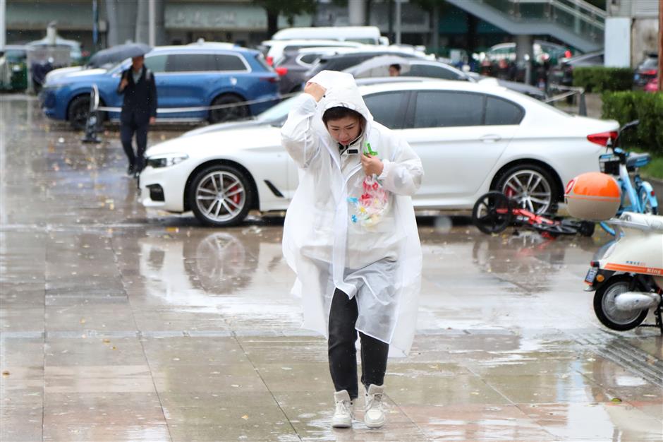
A fast-approaching weather system is about to shake up Shanghai.
Starting Thursday afternoon, a powerful Jianghuai Cyclone – often called an "inland typhoon" – will unleash strong winds, torrential rain and intense thunderstorms across the city.
This is not just a rainy day. It's a major weather event that could disrupt travel, endanger safety and trigger flash floods.
Whether you're commuting, working outdoors or simply planning your day, here's what you need to know to stay safe.
A fast-approaching weather system is about to shake up Shanghai.
What Is an 'Inland Typhoon'
The Jianghuai Cyclone is a spinning storm system that forms over land, particularly in the Yangtze River and Huaihe River regions.
Unlike tropical typhoons, it develops from the clash of cold and warm air masses but can be just as intense. This kind of storm is common in spring and early summer and is known for delivering sudden, powerful bouts of wind and rain.
When Will the Storm Hit
The incoming storm system is expected to begin affecting Shanghai on Thursday afternoon, with conditions rapidly worsening into the evening. The peak impact will occur between Thursday evening and Friday morning, bringing the heaviest rain and strongest winds during the period.
By Friday midday, the storm will gradually lose strength, with winds and rainfall beginning to ease.
However, this timing means that both Thursday's evening commute and Friday's morning rush hour could be significantly affected – residents are strongly advised to plan ahead and avoid travel during these hours if possible.
Expect Heavy to Torrential Downpours
Rain will sweep across the entire city, with total rainfall reaching 40 to 70 millimeters. Most of Shanghai will see heavy rain, but localized storms may strike the suburban districts of Chongming, Jiading, Baoshan, Qingpu and Jinshan.
These places could experience sudden flash floods, intense lightning and short bursts of rain of up to 40mm per hour. The wettest window is expected between Thursday evening and Friday morning.

On land, gusts will reach Level 7 to 9, while coastal and river areas – including Yangshan Port – could see gusts up to Level 11.
Gales Up to Level 11 Expected
This storm system brings very strong winds, rivaling those from early April's storm. On land, gusts will reach Level 7 to 9, while coastal and river areas – including Yangshan Port – could see gusts up to Level 11. Winds will be strongest overnight Thursday into Friday morning, primarily blowing from the south and southeast.
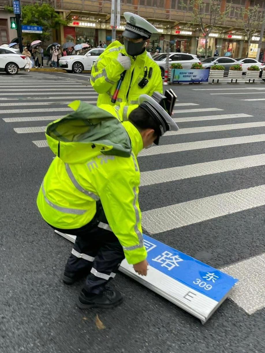
How to Stay Safe During the Storm
If You're Heading Out
Only go out if absolutely necessary. Avoid walking alone, especially during peak rainfall. Be on alert for open manholes, road whirlpools and slippery surfaces. Do not use the Metro in flood-prone areas during heavy rain.
If You're Already Outdoors
Suspend any high-altitude work immediately. Keep a safe distance from trees, billboards, power poles and street lamps, which are at risk of collapse. Avoid standing in the water, which could hide hazards or be electrically charged.
If You're Driving
Do not drive into underpasses, tunnels or low-lying roads. If floodwaters rise to your car window, break the window immediately and evacuate – this is your best chance of survival. Always turn around if you see water pooling ahead.
This storm system brings very strong winds, rivaling those from early April's storm.
A Quick Recovery, but More Rain to Come
The storm will pass quickly. Clearer skies are expected this weekend, offering a break from the chaos. However, another rainy spell is forecast for mid-next week, potentially making May the wettest month so far this year. As spring gives way to summer, temperatures will rise rapidly after the storms clear.
Stay Informed
The National Meteorological Center has issued a yellow alert for severe convective weather, warning of intense thunderstorms, damaging winds and hail expected between May 8 and 9.
Regions across north China, the northeast, Jianghuai, Jiangnan (south of the lower reaches of the Yangtze River) and south China may experience thunderstorm gales above Level 8, with some areas – including parts of Anhui, Jiangsu, Hunan, Jiangxi, Guangxi and Guangdong – seeing winds exceeding Level 10, and even possible tornadoes in central Jiangxi.
Short-term heavy rainfall is also forecast, with hourly rain rates topping 50mm, and local peaks exceeding 80mm. This is a rapidly evolving situation – stay tuned to official updates, and take all warnings seriously.
Prepare ahead. Rearrange your commute if needed. Check on elderly family members, secure loose objects on balconies and avoid outdoor activities during peak storm periods. When it comes to severe weather, early action saves lives.