Walking 'Horses' on Maps Sparks Safety Concerns in China
As the Year of the Horse approaches, a creative trend has trotted across Chinese social media: Enthusiasts are "drawing" elaborate horse figures on digital maps by tracing specific GPS walking routes. However, this spontaneous exploration craze is raising safety alarms, China National Radio reported on Wednesday.
The so-called "horse-drawing" involves walking precise paths that outline a horse's shape on tracking apps. While imaginative, these informal routes often cut through unmanaged terrain, posing hidden dangers.
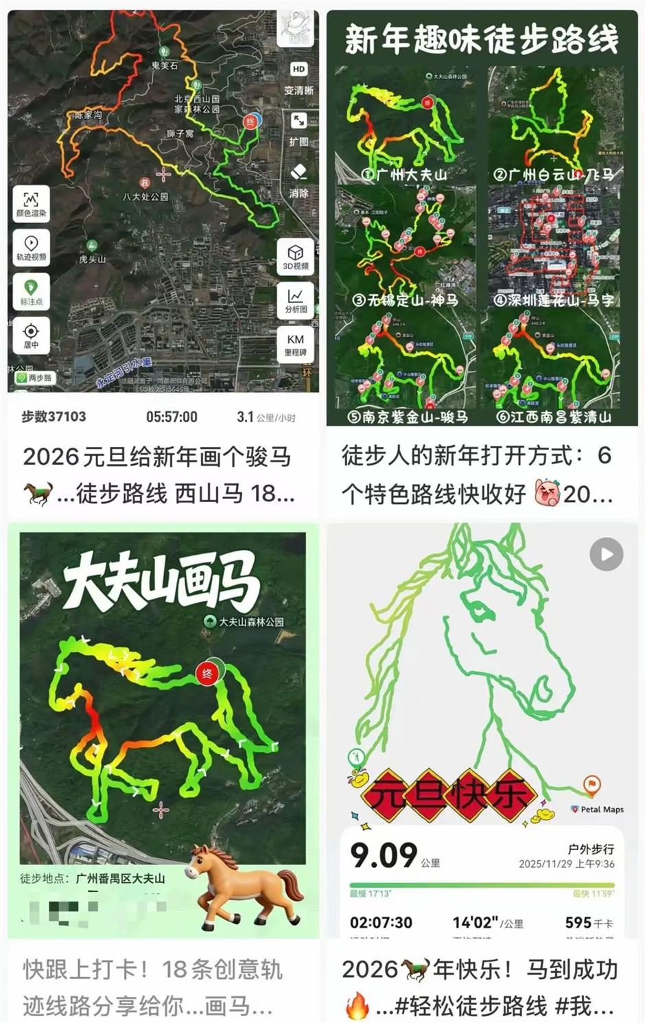
A route in Dafushan Forest Park in Guangzhou, south China's Guangdong Province, recently sparked concern. One hiker described it as "99 percent wild paths, extremely grueling," cautioning, "those without outdoor experience should not attempt it."
Park management clarified that the route is unofficial and has cordoned off the area. Barriers and warning signs are now installed, with staff deployed to steer visitors clear of risky zones.

The park warned its undeveloped areas feature complex, hazardous topography — including steep slopes, loose rocks, and occasional venomous wildlife — with no safety facilities, clear signage, or reliable phone signal. This complicates rescue efforts and poses substantial risks.
The trend isn't limited to horses; "drawing" hearts, roses and other shapes is also popular online. Yet the wilderness conceals more than romance — it hides steep drops, sudden temperature plunges, and other mishaps.
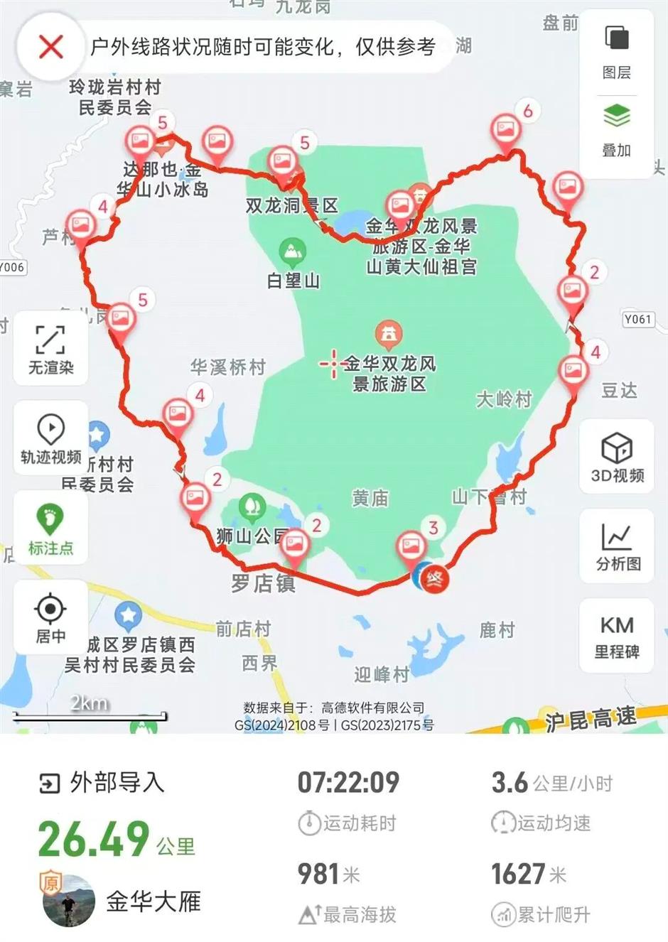
Last December, two women in Zhejiang required rescue after getting lost on a viral "heart-shaped" route when their navigation failed. Firefighters successfully located and escorted them to safety.
Authorities urge the public to avoid rashly venturing into such viral, unofficial trails. Even on formal paths, proper preparation — including carrying suitable equipment, evaluating the route, and checking weather — remains essential.